kirra-docs
Other Import Formats
Kirra supports a wide range of additional import formats beyond CSV, DXF, Surpac, and 3D meshes.
IREDES XML (Epiroc)
Import drill plans from Epiroc drill rigs using the IREDES (Intelligent Rock Excavation Data Exchange Standard) XML format.
Coordinate Warning: IREDES XML uses X for Northing and Y for Easting (opposite of standard convention). Kirra automatically swaps these on import.
Maptek Vulcan ARCH_D (new in v1.0.73)
Import Vulcan design files in the text-based FMT_4 ARCH_D format (.arch_d). The parser reads:
- POLHED blocks — either a blast hole (2 or 3 points sharing X/Y, with Link MVAR data) or a KAD polyline (polylines with
Attr_len/Attr_temattribute templates are treated as polylines, not holes) - TXTHED blocks — text annotations, with font name preserved where present
- Layer line — the layer name becomes the imported entity name (falls back to
VULCAN_IMPORT)
Blast-hole geometry: 3-point holes are interpreted as collar → grade → toe (sub-drilled); 2-point holes are interpreted as collar → toe with no sub-drill. Angle is computed from vertical (Kirra convention: 0° = vertical) and bearing from north clockwise.
Summary metadata: Where the file contains a Vulcan-style summary TXTHED (e.g. Diameter: 0.076m, Burden:, Spacing:), those values are extracted and applied to every imported hole. Otherwise the default hole diameter is 115 mm.
Colours: A small Vulcan index-palette (1 = red, 2 = green, 3 = blue, 5 = yellow, 23 = white, 220 = orange, 420 = cyan, 720 = magenta) is recognised; all other indices fall back to white.
Round-trip: Export is supported via VulcanArchDWriter so Kirra-authored files are readable by Vulcan and re-importable here.
Orica ShotPlus SPF
Import blast hole data from Orica ShotPlus .spf files. The SPF format is a ZIP archive containing XML blast data. Import only – export is not supported.
Orica CBLAST CSV
Import CBLAST CSV files, which use 4 records per hole (HOLE, PRODUCT, DETONATOR, STRATA). Kirra parses the multi-record structure and consolidates it into standard blast hole objects with full charging data (decks, primers).
Product Name Matching: CBLAST files contain product names (e.g. “ANFO 0820”, “Stemming”) but not product properties like density, VOD, or energy. To get accurate mass calculations, powder factor, SDoB, and other analytics, import a Kirra Charge Config ZIP that contains a
products.csvwith matching product names. Product names in the CBLAST file must match exactly (case-sensitive) with names in your charge config products — for example, if your CBLAST uses “ANFO 0820”, your products.csv must also have “ANFO 0820”, not “ANFO” or “Anfo 0820”.
KML / KMZ (Google Earth)
Import blast holes and geometry from Google Earth KML or KMZ files. Supports Placemarks with ExtendedData, polylines, polygons, and 3D geometry with altitude.
Shapefile (ESRI)
Import ESRI Shapefiles (.shp with accompanying .shx, .dbf, and .prj files). Supports Point, PolyLine, and Polygon geometry types with Z variants.
LAS / LAZ (LiDAR Point Cloud)
Import ASPRS LAS LiDAR files (versions 1.2, 1.3, 1.4). Supports point classification, intensity, RGB, and GPS time.
Point Cloud (XYZ, PTS, PTX, CSV)
Import point cloud files in various text formats:
| Format | Extension | Description |
|---|---|---|
| XYZ | .xyz, .txt |
Space-separated X Y Z with optional R G B |
| PTS | .pts |
Count header + X Y Z Intensity R G B |
| PTX | .ptx |
Leica scanner format |
| CSV | .csv |
Comma-separated X,Y,Z with optional R,G,B |
GeoTIFF Imagery
Import georeferenced raster images (.tif, .tiff). Supports:
- Single-band elevation rasters
- RGB/RGBA imagery (orthophotos, aerial images)
- Geotransform metadata for coordinate mapping
Imported images appear as draped layers in both the 2D and 3D views.
KAP (Kirra App Project)
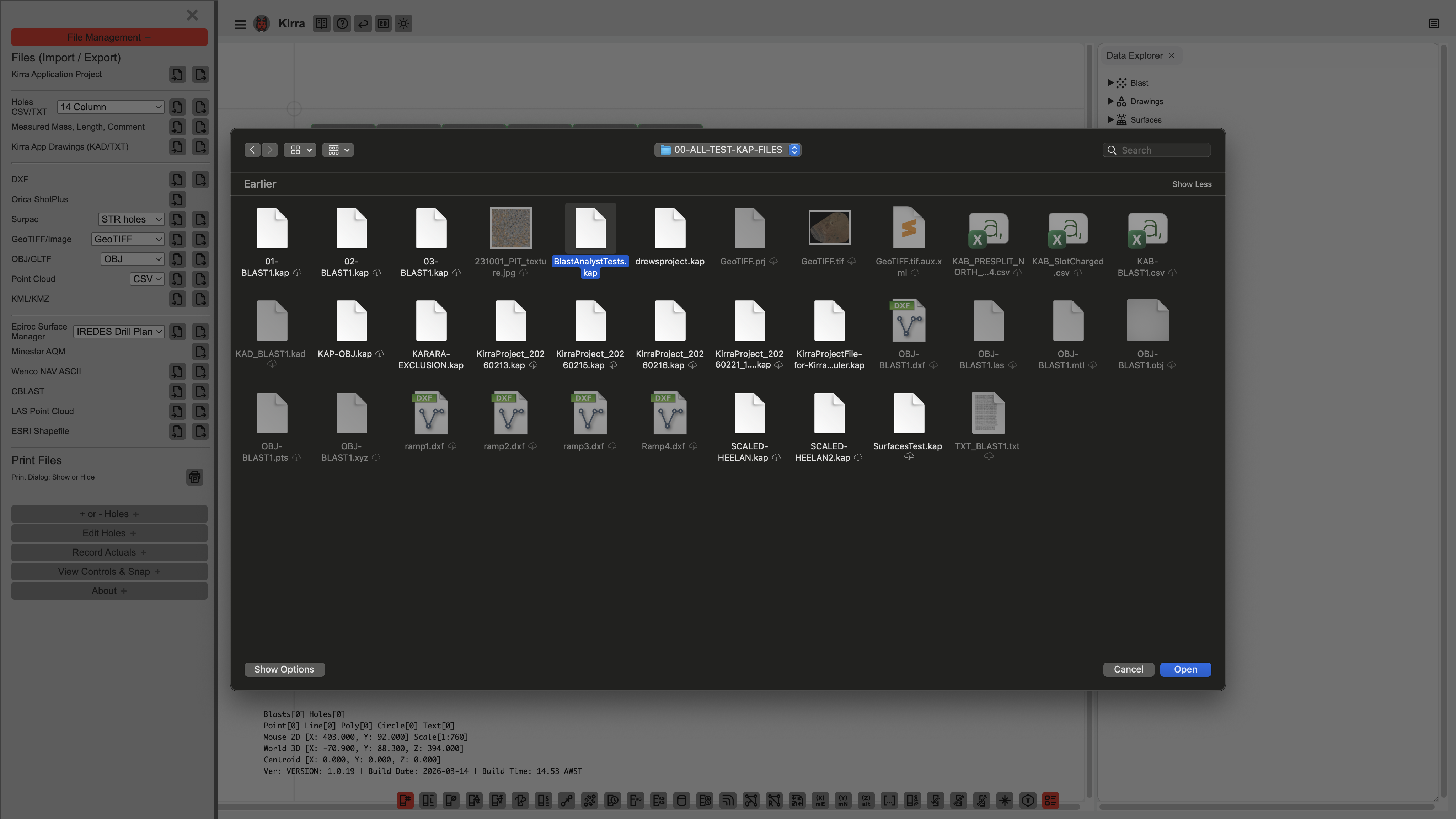 Opening a KAP (Kirra App Project) file loads the complete project.
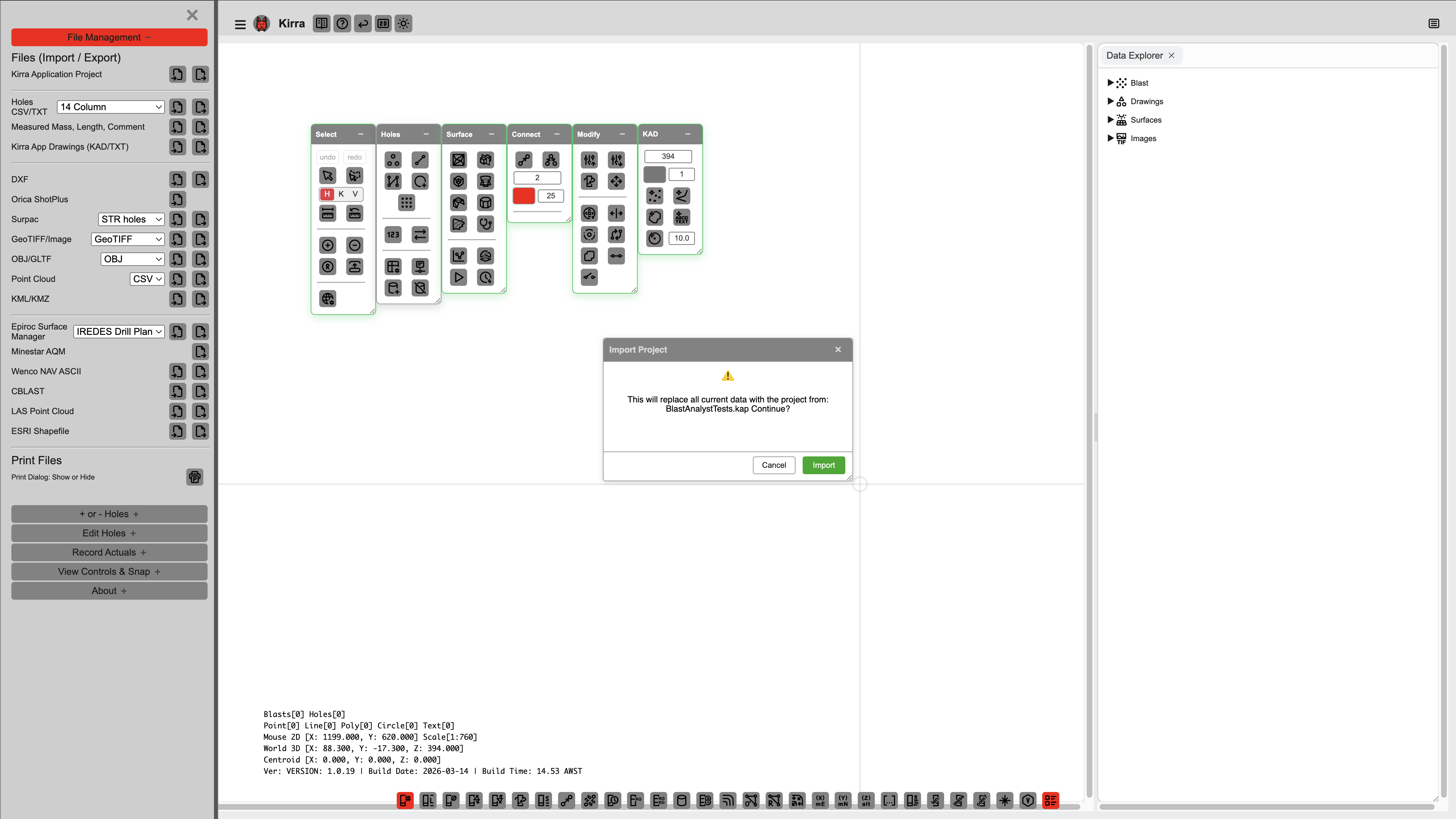 Kirra may display a warning if the KAP file was created with a different version.
Import a complete Kirra project from a .kap file. KAP is a ZIP archive containing:
| File | Contents |
|---|---|
manifest.json |
Version, creation date, metadata |
holes.json |
All blast hole data |
drawings.json |
KAD drawing entities |
surfaces.json |
Surface points, triangles, and properties |
images.json |
GeoTIFF/imagery metadata |
products.json |
Explosive product definitions |
charging.json |
Charge configurations and deck data |
configs.json |
Application settings |
layers.json |
Layer definitions and visibility |
textures/ |
Texture images for OBJ surfaces |
images/ |
Imported GeoTIFF imagery |
KAD (Kirra App Drawing)
Import Kirra’s native drawing format (.kad). Contains point, line, polygon, circle, and text entities with coordinates, colours, and layer assignments.
Wenco NAV
Import Wenco NAV ASCII files (.nav) containing TEXT, POINT, and LINE entities for fleet management integration.
Epiroc Surface Manager
Import Epiroc Surface Manager coordinate files (.geofence, .hazard, .sockets, .txt). These use Y,X (Northing, Easting) coordinate ordering.