kirra-docs
Importing Surfaces
Kirra supports importing 3D surfaces from multiple formats. Surfaces are used for terrain visualisation, grade control, blast analytics overlays, boolean operations, contour generation, and GeoTIFF export.
 An imported surface displayed in the 2D canvas view with triangulation visible.
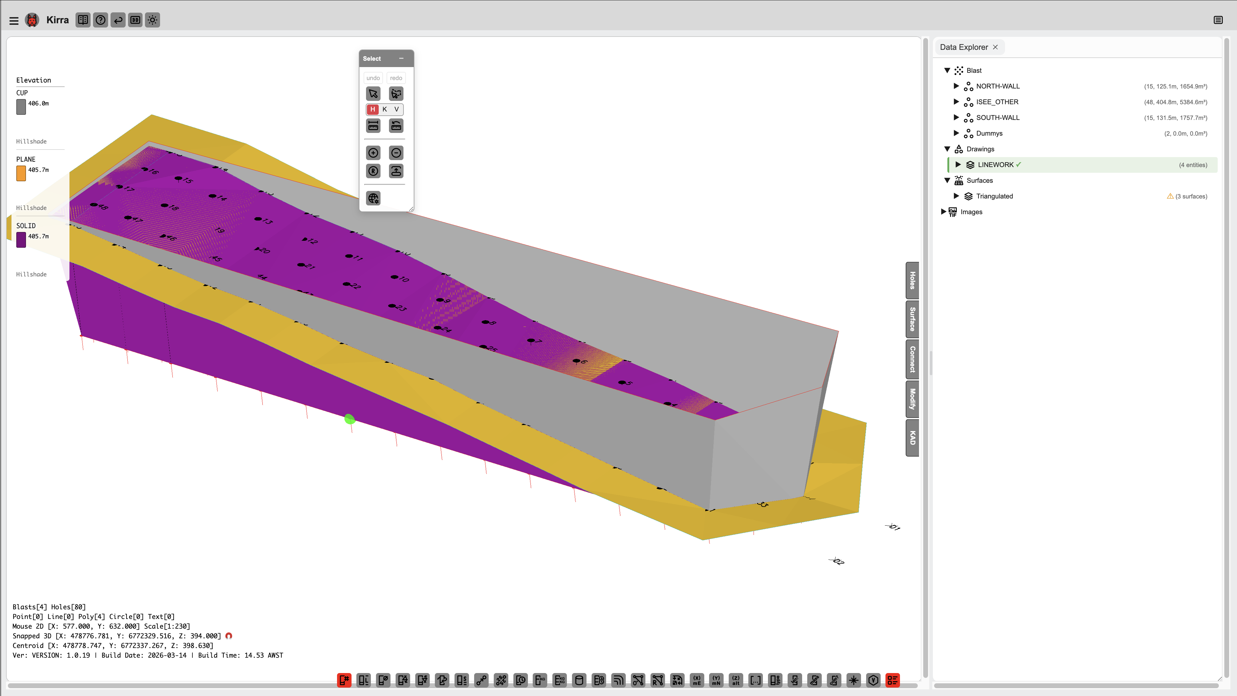 The same surface in the 3D view showing elevation colouring.
Supported Surface Formats
| Format | Extensions | Source |
|---|---|---|
| Surpac DTM/STR | .dtm + .str |
Surpac, Vulcan, MineSight |
| Wavefront OBJ | .obj (+ .mtl + textures) |
Photogrammetry, CAD, Blender |
| PLY | .ply |
3D scanners, photogrammetry |
| GLTF/GLB | .gltf, .glb |
3D viewers, Blender, analysis persistence |
| DXF 3DFACE | .dxf |
AutoCAD triangulated surfaces |
How to Import
- Click File > Import
- Select your surface file(s)
- For Surpac: select both
.dtmand.strtogether - For OBJ with textures: Kirra prompts for MTL and texture images
- For Surpac: select both
- The surface appears in the TreeView and both 2D/3D views
- Data is saved to IndexedDB and persists across browser sessions
After Import
Once imported, you can:
- Apply gradients – Change the colour scheme (elevation, hillshade, viridis, texture, etc.)
- Adjust transparency – Set surface opacity
- Set elevation limits – Clamp colour mapping to a specific Z range
- Right-click in 3D – Access surface properties, gradient options, and context menu
- Apply grade control – Use the surface elevation to set blast hole grade positions
- Run blast analytics – Overlay vibration or damage models on the surface
- Generate contours – Create elevation contour lines as KAD polylines
- Boolean operations – Combine, subtract, or intersect surfaces
Surface Properties
| Property | Description |
|---|---|
| Name | Filename or user-defined name |
| Visible | Show/hide toggle |
| Gradient | Colour scheme (default, hillshade, viridis, texture, etc.) |
| Transparency | Opacity level (0 = invisible, 1 = solid) |
| Min Limit | Minimum elevation for colour mapping |
| Max Limit | Maximum elevation for colour mapping |
Access surface properties by right-clicking the surface in the TreeView or in the 3D view.
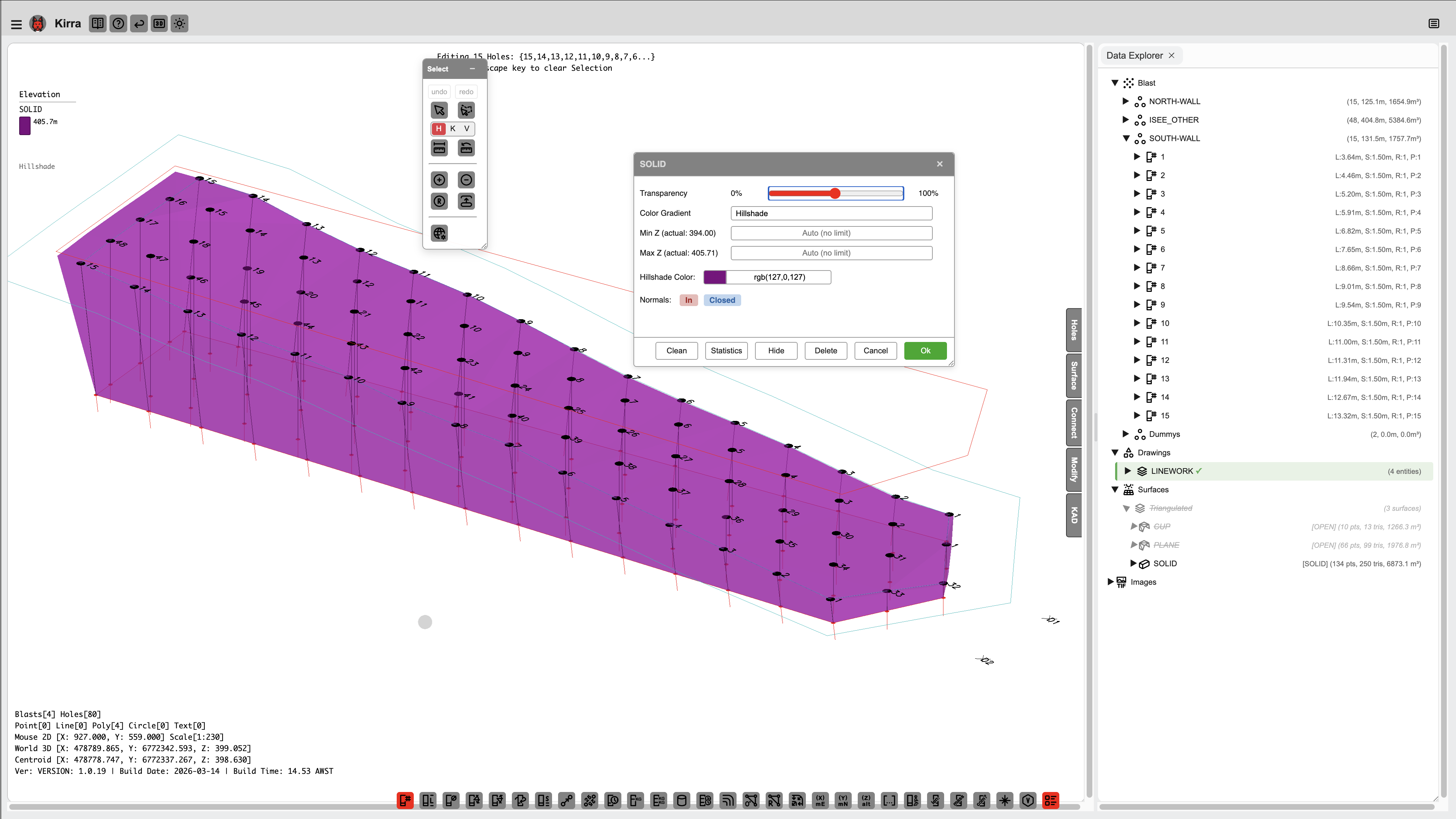 Right-click a surface in the 3D view to access properties, gradient options, and more.